
|
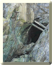
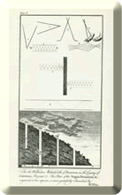
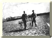
Early exploration was the result of placer working of cassiterite. As the workings extended up shallow valley systems the miners would eventually arrive at the primary source of the heavy mineral. Later, costeaning (digging of pits) near the source would delineate the lode. Adits were subsequently driven in from cliffs or hillsides to explore for metals. Divining, using wooden or metal rods, was recommended in the 1700s as a tool for finding ores. As a result of advances in scientific knowledge and improvements in engineering technology in the 1800s, new methods for exploration were developed. |
|
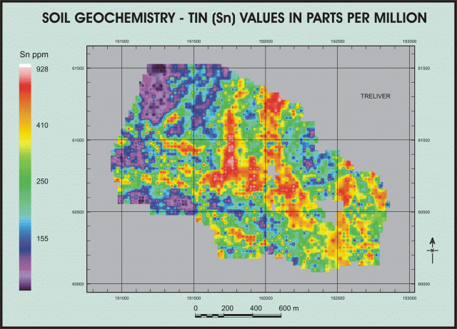
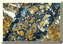
Soil geochemistry, when analysing for trace elements such as tin, copper and arsenic, has been very effective in reconnaissance exploration of the orefield. This combined with heavy mineral stream sediment geochemistry is very useful as rock outcrop is somewhat sparse. Increased concentrations of selected elements can indicate the near proximity of mineralization.
|
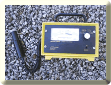
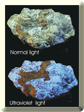
Certain minerals fluoresce under ultraviolet light or are radioactive and can be detected by a Geiger counter or scintillometer. Both these properties can be used a field tool for mineral prospecting.
|
|
||||
|
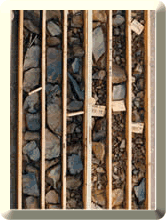
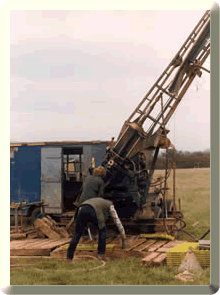
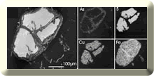
Geochemical reconnaisance is often followed up by trenching, mapping, sampling and analysis, prior to diamond drilling. Diamond drilling, either from surface or underground, has proved very successful in the orefield for testing mineralization in depth. Cores of rock can be physically examined, mapped, sampled and analysed for elements of interest. A exploration case study for a part of SW England can be downloaded as a PDF file (1.36MB) here. |
|
|
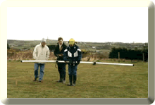
Geophysical investigation has been used for exploration to test for physical contrast between the host rocks and mineralization. One of the early uses of geophysics as an exploration tool was tested in the St Agnes district at Lambriggan for zinc and lead sulphides in the 1930s. Satellite and remote sensing has also been tested to produce lineament maps. The British Geological Survey has published technical information using a variety of exploration techniques in the Cornubian Orefield in their Mineral Reconnaissance Reports - see www.bgs.ac.uk |
|
||||
|
|
|
|
||||||
|
This site was last updated on
Friday, October 7, 2005 3:02 PM
.
Webmasters : Simon Camm & Paul
Hedley